
Sale!

Green Trails Map 133S – Seven Lakes Basin, Mount Olympus Climbing
Original price was: $14.00.$10.50Current price is: $10.50.
- Experience the Best Quality
- 7 Days of Hassle-Free Returns
- Protecting Your Payment Information
- High quality products, low prices.

Topographic recreation map details climbing routes, trails and backcountry camps for Mount Olympus and the Olympic National Park.
Features
- Green Trails Maps show current trail, road and access information to national forests, national parks, state and local parks, and other public lands
- Printed on rugged, waterproof, tear-resistant material
Made in USA.
Technical Specs
| Best Use | Hiking |
|---|---|
| Map Scale | Seven Lakes Basin/High Divide/Bailey Range 1:50,000; Mount Olympus Climbing 1:24,000 |
| Double Sided | Yes |
| Waterproof | Yes |
| Publisher | Green Trails Maps |
| Copyright Year | 2004 |
| State / Province | Washington |
| Map Number | 133S |
| Color | None |
|---|
Be the first to review “Green Trails Map 133S – Seven Lakes Basin, Mount Olympus Climbing”
Related products
Sale!

Books and Maps
Original price was: $18.95.$13.83Current price is: $13.83.
Sale!
Books and Maps
Original price was: $19.95.$13.77Current price is: $13.77.
Sale!
Original price was: $22.95.$16.29Current price is: $16.29.
Sale!
Original price was: $24.95.$15.72Current price is: $15.72.
Sale!
Original price was: $24.95.$16.22Current price is: $16.22.
Sale!
Books and Maps
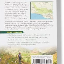
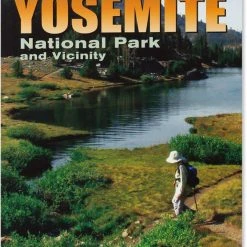
Wilderness Press 50 Best Short Hikes in Yosemite National Park and Vicinity – 2nd Edition
Original price was: $16.95.$10.51Current price is: $10.51.
Sale!
Original price was: $18.95.$13.83Current price is: $13.83.
Sale!

Books and Maps
Original price was: $16.95.$11.02Current price is: $11.02.
Reviews
There are no reviews yet.